Mount Tarak Ridge, Mariveles, Bataan (1,130 MASL), Day Hike
We were a little hesitant in climbing Mount Tarak Ridge again because we were so tired that day, we haven't packed our things yet and my husband is so sick. We were just so shy to turn down climb hike by my kumare and my boss, hehehe =). My boss and my kumare went ahead of us. And while we were walking, the three of us, Dad, Josh and me... we were always saying "Hayyyy! ang sarap talaga sa bahay...", hahaha =)
Anyway, I would like to give the specs again of Mount Tarak Ridge...
Jump off point: Brgy. Alas-asin, Mariveles
LLA: 14°30.357′N, 120°30′E, 1,006 MASL (ridge); 1,130 MASL (peak)
Days required / Hours to summit: 2 days, 5-6 hours
Specs: Major climb, Difficulty 4/9, Trail class 3
It was supposed to be my kumare, her hubby and their friend, my boss, dad's bestfriends, Brando and Johnmar and the three of us to hike, but instead my kumare's group went ahead, and Brando and Johnmar just got addicted taking photos anywhere and posting status at free facebook for prepaid globe users. Ending... it was just the three of us walking, hehe =)
My eldest child became the yaya and was not able to join us coz our hired yaya for 2 days did not arrive.
 |
| arrived at Nanay's Cording's kubo 30 minutes from the jump-off |
For first timers, it is important to hire a guide, contact Elizabeth Naga at 0949-5869556
 |
| Josh sipping from his own hydro bag |
 |
| a lot of roots along the way |
 |
| the super hot trail approaching Papaya River |
 |
| rest! |
 |
| rest again... |
 |
| a lot of teka teka plant at Mount Tarak Ridge |
 |
| source of water at Papaya River |
Papaya River can be reached 3 hours from the jump-off. It is the only water source so refill everything...
 |
| most of the trails after Papaya River are like this... |
After Papaya River steep climb will follow for 1.5 to 2 hours. It was quite difficult climbing the rooty parts of the trail, but again I really enjoyed it. What became harder was climbing the loose rocks that will lead to the ridge.
 |
| Dyamanteneers... when they saw the three of us, one of them said "parang nabasa ko sila sa blog"... and then they took photos with us... Hope to see you again Dyamanteneers =) ... We really are so thankful that some people appreciates my blog =) |
 |
| boss ko yan! ang tapang eh! |
 |
| my kumareng Irene... the one who influenced me to climb mountains |
 |
| Do not imitate... matigas lang talaga ulo nyan! hahaha =) |
 |
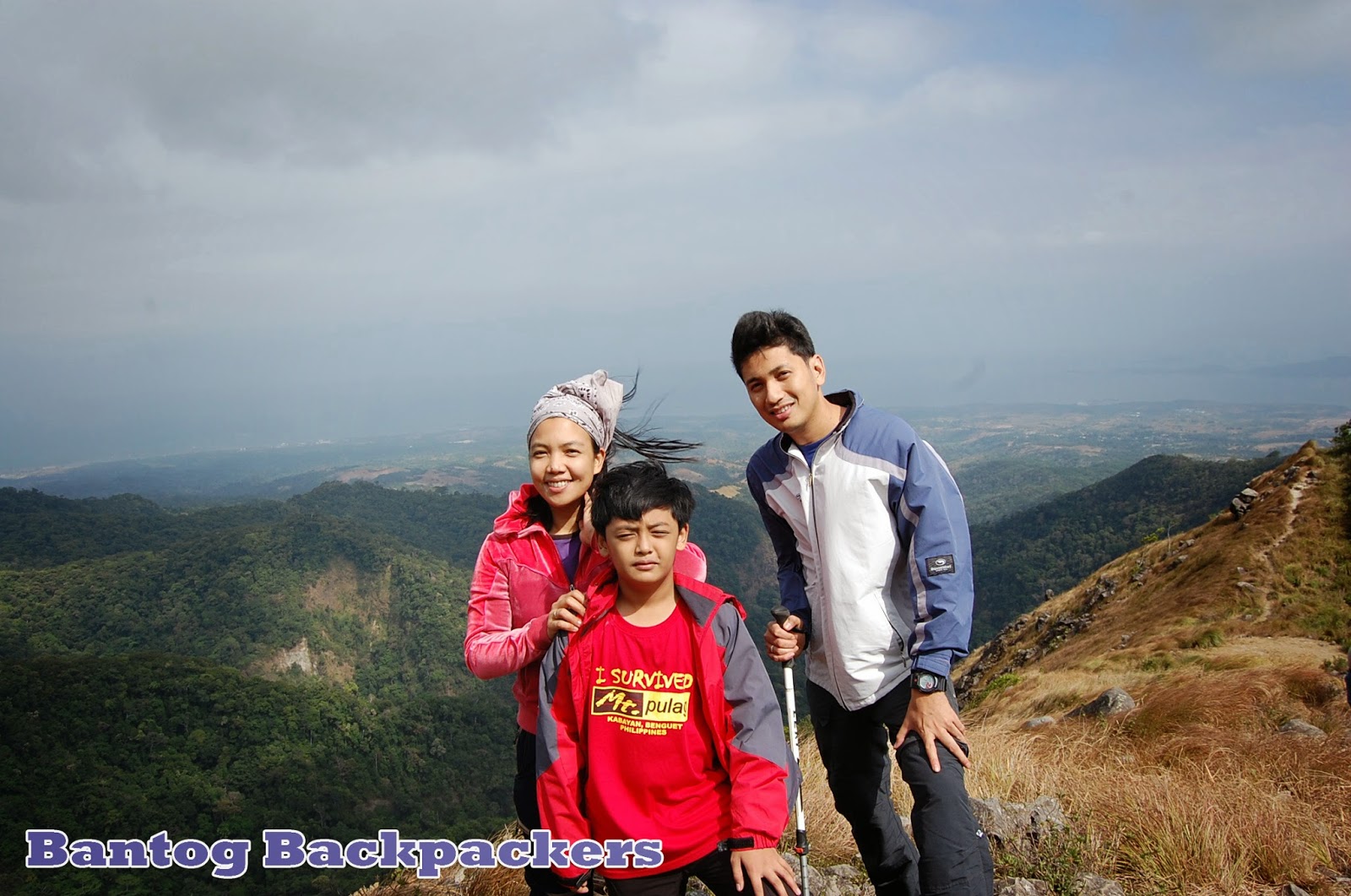
| the famous ridge |
Strong winds should be expected at the ridge. Be very careful when you're near the cliffs, you may fall because of the very gusty winds. The right side on this picture, the area covered with trees, is the base camp.
 |
| my mag-ama with boss Andy |
 |
| this time si Joshua naman ang kasama dati si Kuya |
 |
| Oliver, Levi and Dad, ampopogi! |
 |
| sa wakas nagkasama rin ang magkumpare sa bundok! |
 |
| with pareng Oliver |
 |
| the boys! |
 |
| one of the boys! |
 |
| mag mommy na addict sa bundok! |
 |
| ang tigas din ng ulo neto... pasaway ka daddy... |
 |
| kasabay naming umakyat na pinaka pasaway... kuya kung may problema ka pag-usapan natin at bumaba ka na dyan... |
 |
| relaxing after the 5 hour trek |
 |
| view from where we are relaxing |
 |
| Dad, Brando and Johnmar at the dangerous rocks |
 |
| halatang dating macho dancer, hahaha =) |
 |
| emo! |
 |
| a lot of care must be observed, just one wrong move will take you 6 feet underground forever |
 |
| jayshelle on top |
 |
| thank u Dad for always being not only by my side but also at my back |
 |
| love this pic <3 |
After seeing the pictures, buti na lang umakyat tayo, di baleng hirap basta maganda ang pictures, hahaha =)
We planned to camp at the ridge, but because we have to leave early the
next day for Manila, we decided to camp at the Papaya River, but we found out that it was already full of
campers. We decided to continue going down. We were also thinking of
my kids that's why we proceeded going down though the three of us are
already exhausted and it's starting to get dark. We climbed down in just 3 1/2 hours from the ridge.
When my friends were left at Mount Tarak Ridge, they texted us that there is a lost mountaineer. He fell from a cliff approaching Papaya River. The mountaineer even made a call to one of his friends saying that he doesn't know how he can climb from where he fell. But thank God he was found alive a day after. The news about the lost mountaineer at http://balita.ph/2014/03/25/missing-mountaineer-rescued-in-bataan/
Mount Tarak Ridge will always be one of our favorite mountains, aside from it is only an hour ride from home, it is also one of my province's pride...
Itinerary for a day hike :
3:00AM to 6:45AM - Pasay to Alas-asin, Mariveles
bus fare around Php272
6:45AM to 7:00AM - Registration at Brgy. Alas-asin, Php40
7:00AM to 10:00AM - Alas-asin to Papaya River
10:00AM to 10:30PM - early lunch and rest
10:30PM to 12:30PM - Papaya River to Tarak Ridge
12:30PM to 1:00PM - Tarak Ridge to Summit
1:00PM to 1:15PM - exploring the summit
1:15PM to 1:45PM - Summit to ridge
1:45PM to 3:30PM - Photoshooting at the ridge
3:30PM to 4:30PM - Ridge to Papaya River
4:30PM to 7:30PM - Papaya River to Alas-asin
7:30PM to 11:30PM - Alas-asin to Pasay
for 2-day itinerary, go to my first blog about Mount Tarak Ridge here


